Towne Park at a glance
A City of Lakeland neighborhood in southwest Lakeland off West Pipkin Road, near Lakeland Linder International Airport and next to R. Bruce Wagner Elementary, with 281 single-family homes on Towne Park Estates plats recorded from 2006 to 2019.
Mostly Pomona and Holopaw fine sand, poorly to very poorly drained. About a quarter of the area is FEMA Zone A and about a fifth is emergent wetland, and 110 homes back onto interior ponds.
Permit office: City of Lakeland Building Inspection Division · official page No historic district. Streets are City-coded, so apron work needs a Right-of-Way Use Permit; the 12 lots touching Zone A can't use the HB 803 exemption.
Towne Park between Pipkin Road and Wagner Elementary: what this page covers
Towne Park sits in southwest Lakeland, close to Lakeland Linder International Airport. West Pipkin Road runs along about a kilometer of its edge, Towne Park Boulevard loops through the middle, and R. Bruce Wagner Elementary is right next door. The Town Park Estates playground is inside the neighborhood.
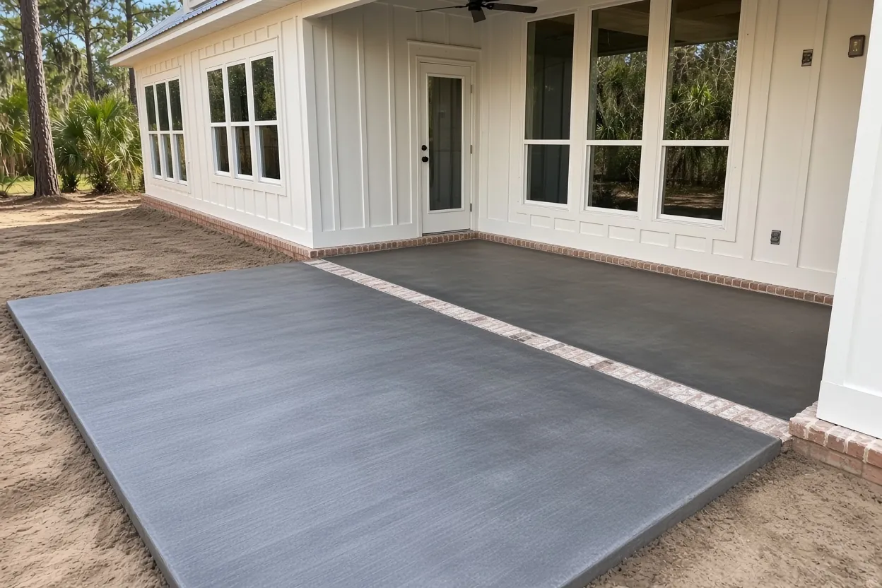
This page uses the City of Lakeland's own neighborhood boundary, which holds 281 single-family houses and no townhomes. The three Towne Park Estates plats behind it hold 483 homes and stretch past that line. The Polk County Property Appraiser's recorded subdivision layer dates Phase 1-A to August 2006, Phase 2A to June 2017 and Phase 2B to June 2019, all under planned unit development zoning. The middle lot is about 8,050 sq ft. That leaves room for a real back concrete patio or a wider driveway. The rest of the city we pour in is on the service area page.
One Towne Park acre in four is Zone A: what that does to your permit
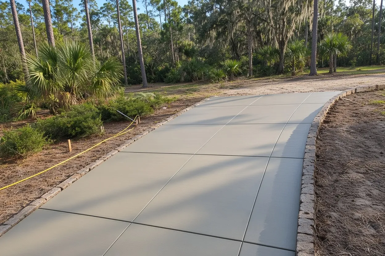
FEMA's National Flood Hazard Layer marks about 25% of the Towne Park boundary as Zone A, a Special Flood Hazard Area with no published base flood elevation. The other 75% is Zone X. The wetland inventory adds that about 21.5% of the area is freshwater emergent wetland. Those shares include ponds and marsh, so they don't tell you about your own yard. On the parcel map, 12 single-family lots touch the flood hazard area. Two panels cover the neighborhood: Polk panel 12105C0460G and a Hillsborough County panel, 12057C0435H, that reaches the western edge.
Here's why that matters for a small job. Florida's HB 803 lets an owner ask for a permit exemption on qualifying non-structural work under $7,500 on a single-family home. You apply in writing and wait for approval, the building official decides whether concrete qualifies, and Hillsborough County's exempt-work page spells out that the exemption is off the table if any part of the property sits in a flood hazard area. If your lot is one of those 12, the exemption isn't an option. Our Lakeland concrete permit guide walks through the steps.
What It Costs
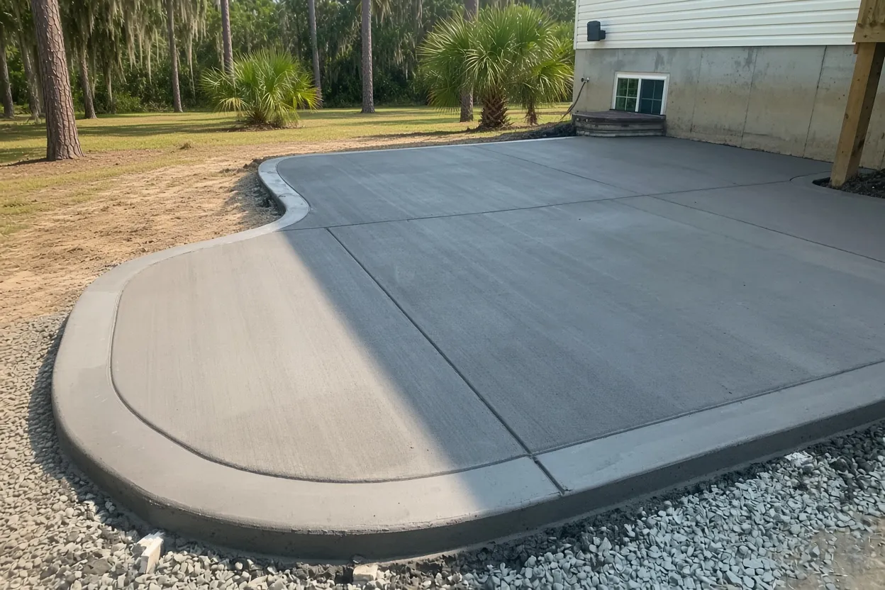
Our typical ranges for Towne Park work. On these lots, base prep on wet sand, pond-side grading and any City apron work move the total most.
| Job | Per sq ft | Typical project | What moves the price here |
|---|---|---|---|
| Concrete driveways | $8 to $14 | $5,000 to $10,000 | Widening toward the curb, apron permit; tear-out adds $2 to $4 per sq ft |
| Concrete patios | $8 to $14 | $2,500 to $6,500 | Pond-side grading, extra base on low ground, a future screen room |
| Concrete sidewalks and walkways | $8 to $14 | $1,500 to $4,500 | Side-yard runs to a gate or the pond; short runs hit a job minimum |
| Stamped and decorative concrete | $14 to $24 | $5,000 to $16,000 | Pattern, color and sealer; a border costs less than a full stamp |
| Concrete slabs and foundations | $7 to $12 | $2,000 to $7,500 | Shed, AC or trailer pads; thicker or monolithic slabs cost more |
These are our ranges, not a quote. You get a free written estimate after we see the site, and the written quote within 48 hours. City permit fees are separate.
Pomona and Holopaw sand: base work for low flatwoods ground
The NRCS soil map puts about 72% of Towne Park in Pomona fine sand and about 22% in depressional Holopaw fine sand. The Pomona series description calls it very deep and poorly or very poorly drained, and the Holopaw description says the same about drainage. Add them up and roughly 93% of the neighborhood is wet, low sand.
So the slab is only as good as what's under it. We can dig out sod, roots and dark topsoil, then compact clean sand in thin layers. The standard we hold that base to comes from the Florida Building Code's fill rule for house floor slabs: no vegetation or debris, compacted so the slab gets even support. Grade counts just as much. New concrete has to throw rain toward the lawn or a swale, never back toward the house or under an older slab. The National Weather Service puts the local rainy season at May 25 to October 10, so on a summer job we can recheck the subgrade on pour morning and start early. These soil units come from an older survey, and our site visit settles what's actually under your yard.
Pond lots: 110 Towne Park houses back onto water
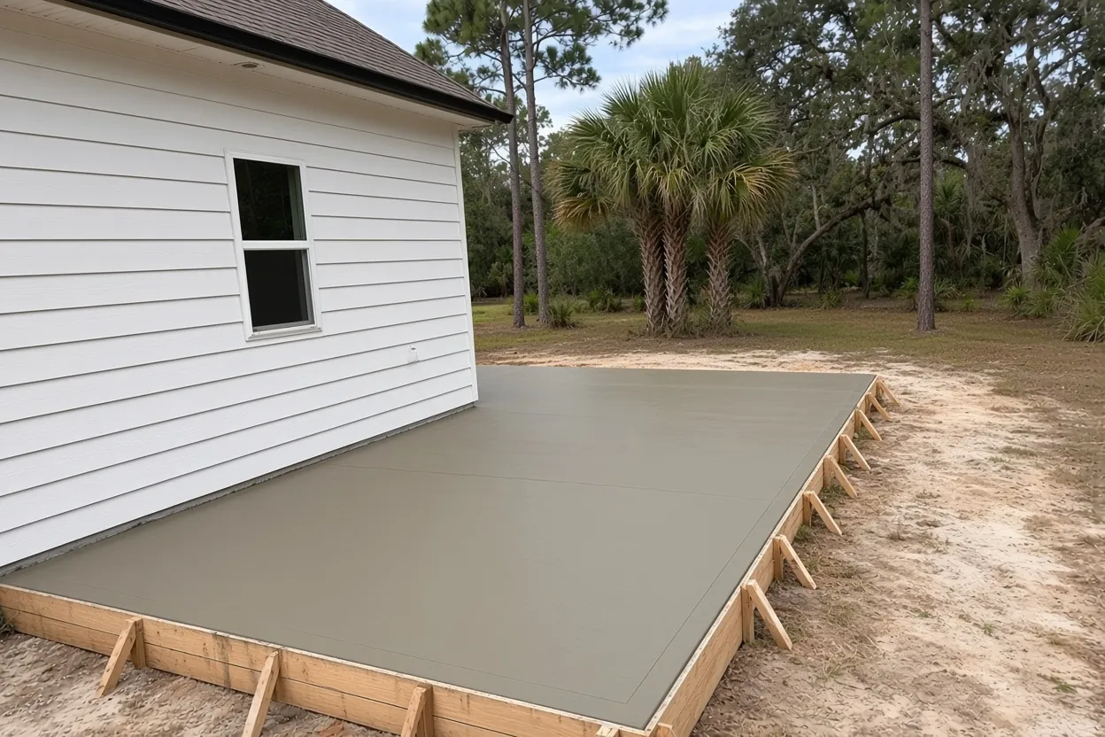
The property appraiser codes 110 of the 281 houses as waterfront or lakefront. Two unnamed City lakes of about 7 and 4.3 acres sit fully inside the neighborhood, and a slice of a third reaches in. If your back door faces one, read this before you sketch a patio.
A few points for a pond-side slab. These ponds aren't on the protected lakeshore list in Sec. 6.4 of the City's Land Development Code, which names lakes such as Lake Gibson, Lake Hollingsworth and Lake Parker and sets a 50 ft setback for structures from them. Whether some other rule reaches your pond edge, or whether the City counts a patio as a structure, is a question for the City before you draw the outline. On the ground side, we can pitch the slab away from the house so rain crosses lawn before it reaches the pond.
A stamped border dresses up a plain patio for less than a full stamp, and we pour simple pool decks too. The patio cost guide breaks the numbers down by size and finish.
How Your Job Goes
Check the flood map
Look up your Towne Park address on the FEMA Flood Map Service Center and have your survey handy.
Walk the lot
We measure, look at the pond edge and the curb, and note where water sits after rain.
Quote in writing
Thickness, finish, joints, base work and price, sent within 48 hours.
Permits, pour, cleanup
City permit and any right-of-way permit first, then an early pour and a clean jobsite when we leave.
White Egret Lane to Barred Owl Road: aprons, curb cuts and City rules
Apart from Towne Park Boulevard, the streets here are named for birds: White Egret Lane, Sandhill Crane Drive, Peregrine Way, Marsh Wren Street, Barred Owl Road and Song Sparrow Court. The City's street centerline map codes every street inside the neighborhood, about 4.4 km, as City streets. That makes the strip between your lot and the curb City right-of-way.
The City's Building Inspection Division processes driveways here, and Public Works Engineering inspects them. Any work past your lot line needs a Right-of-Way Use Permit first, there's a 48-hour pre-construction notice, and the apron follows the City's Engineering Standards Manual. Sec. 4.11.4.6 of the Land Development Code allows driveways of 10 to 24 ft wide outside historic districts and one curb cut per lot unless you have an improved alley. Circular driveways of 10 to 14 ft on lots with 75 ft of frontage are exempt from the one-cut rule, and ribbon tracks must be at least 2 ft wide. On a contract over $2,500, Florida law calls for a recorded Notice of Commencement before work starts.
For side walks and pads, see our sidewalk and slab pages. The driveway cost guide covers widening math. Neighbors in Riverstone, Hawthorne Ranch, Lakeside Preserve, Carillon Lakes and the Lakes at Laurel Highlands have their own pages.
Common Questions
Is my Towne Park house in a flood zone?
Can I skip the permit for a small patio in Towne Park?
Do I need City approval to widen my driveway onto the curb strip in Towne Park?
Is there a lake setback for a patio behind a Towne Park pond lot?
How wide can a driveway be in Towne Park?
Why does a Towne Park slab need extra base work?
Sources
- Map_Property_Appraiser MapServer: Recorded Subdivisions (Polk County Property Appraiser GIS)
- NFHL MapServer: Flood Hazard Zones (FEMA)
- Wetlands NWI (Polk County GIS (U.S. Fish and Wildlife Service National Wetlands Inventory))
- Official Series Description: POMONA (USDA-NRCS (NCSS OSD Registry))
- iMS Centerlines FeatureServer (City of Lakeland GIS)
- Engineering Permit Inspection Information (City of Lakeland Public Works Engineering)
- Land Development Code, Sec. 4.11.4.6 and Sec. 6.4 (City of Lakeland (Municode))
- Work Exempt from Permits (Hillsborough County Development Services)