Lake Horney at a glance
Lake Horney is a City of Lakeland neighborhood southeast of downtown, between Lake Hollingsworth and Bartow Road. It takes in most of the Lakeland Senior High campus and touches the Florida Southern College grounds, with Lime Street Elementary, Lake Bonny and Fletcher Park just outside its edge.
Mostly Tavares sand, moderately well drained, with Samsula muck around the lake; about 93 percent FEMA Zone X, the rest Zone A or AE; about 14 percent tree canopy.
Permit office: City of Lakeland Building Inspection Division and Public Works Engineering · official page City permits apply on every interior street. No interior lot is in a historic district. Lake Hollingsworth is a protected lakeshore; Lake Horney is not. US 98 / Bartow Road is a State road.
Interlachen Heights, Hollingsworth Park and a 1950s building boom
The oldest plats here are the Hollingsworth Crescent Addition from 1920, Crescent Park from 1921 and the 36-acre Hollingsworth Terrace Subdivision from 1925. The big wave came three decades later. Interlachen Heights was recorded in May 1953, with Units 2 and 3 in 1954 and 1955, and Hollingsworth Park Unit 1 followed in November 1953. Lake Hollingsworth Estates, Clairdale and New Jersey Oaks filled in through 1980.
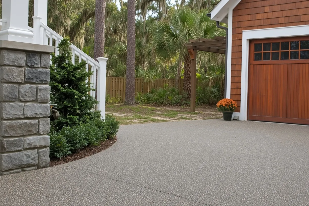
Property Appraiser records match that timeline: 169 of the 326 dated single-family homes show 1950s improvement years, and the median is 1955. The median lot is about 10,100 sq ft, so you have some room to work with. If your 1950s house still has its first driveway, start with our driveway replacement page, and the Lakeland driveway cost guide breaks out tear-out and base work line by line. The rest of our Lakeland service area is listed by neighborhood.
Tavares sand on the streets, Samsula muck at the water
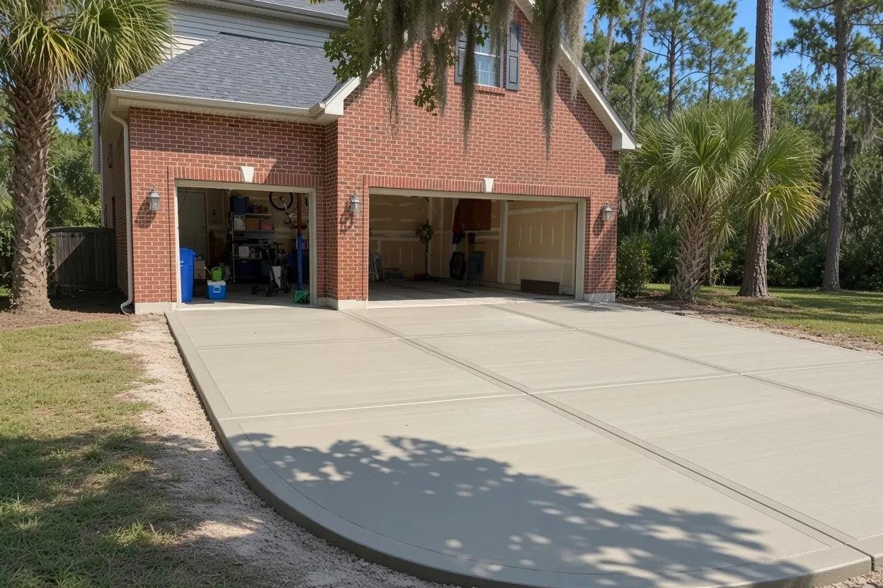
About 65 percent of the Lake Horney neighborhood maps as Tavares-Urban land complex, and another 27 percent as urban land. The USDA description of Tavares calls it very deep and moderately well drained. Once roots and old fill are stripped, we can compact it for the base.
The lake fringe is different. About 4 percent of the area is Samsula muck, which the USDA describes as very deep, very poorly drained and built from plant remains. That's nothing like the sand up the street. National Wetlands Inventory mapping also shows a freshwater pond covering about 3 percent of the area.
On a lot near the water we can dig test holes where the slab will go before we price it. If they turn up dark organic soil, the quote can show removing it and replacing it with clean, compacted fill. We can hold that base to the rule Florida's code sets for fill under house slabs: free of vegetation and foreign material, compacted for uniform support.
What It Costs
These are our typical Lakeland ranges. Around Lake Horney, removing an old 1950s slab and replacing soft ground near the lake are what move a job within them.
| Job | Per sq ft | Typical project | What moves the price |
|---|---|---|---|
| Concrete driveway | $8 to $14 | $5,000 to $10,000 | 4 to 5 in. broom finish, typical 2-car; tear-out adds $2 to $4 per sq ft |
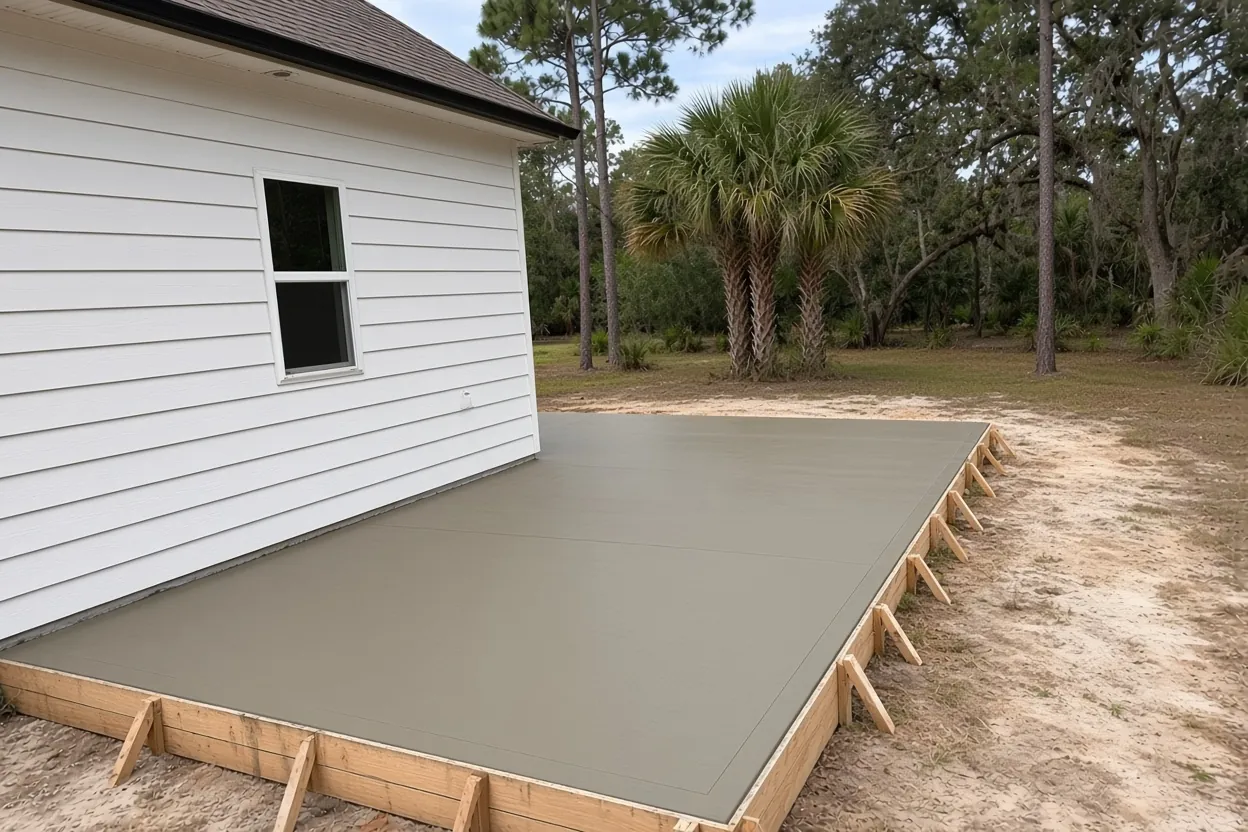
| Concrete patio | $8 to $14 | $2,500 to $6,500 | About 250 to 450 sq ft; base replacement on muck near the lake |
| Sidewalk or walkway | $8 to $14 | $1,500 to $4,500 | 4 in., 3 to 5 ft wide; short runs hit a job minimum |
| Stamped and decorative | $14 to $24 | $5,000 to $16,000 | Pattern, integral or release color, sealer |
| Slab or foundation | $7 to $12 | $2,000 to $7,500 | 4 in. reinforced; thicker or monolithic costs more |
Ranges only. The exact price comes in a free written estimate after we see the site, with tear-out and any fill replacement listed separately.
Twenty-four lots touching the flood zone, and the $7,500 exemption
FEMA's flood map puts about 93 percent of Lake Horney in Zone X. About 6.6 percent is Zone A and a sliver is Zone AE, with a base flood elevation of 133.9 ft. Mapped against parcel lines, 24 single-family lots touch a special flood hazard area.
That count matters for paperwork. Florida's HB 803 can exempt qualifying work under $7,500 on a single-family home from permits, but not if any part of the property is in a flood hazard area. If yours is one of those 24, the exemption is off the table, even for a small patio or walk. Everyone else may qualify, but it isn't automatic: you file a written request and get approval before work starts, and the City decides whether your concrete job qualifies.
Look up your own address on FEMA's National Flood Hazard Layer before the estimate. Bigger jobs have one more step: a Notice of Commencement must be recorded with the County Clerk on a direct contract over $2,500, and over $5,000 a copy goes to the building department before the first inspection. Our Lakeland concrete permit guide walks through both.
A small unprotected lake beside a protected one
Lake Horney itself covers about 5.6 acres on the City's hydrology map, and a 0.38-acre City parcel called Lake Horney Shore sits on its edge. It is not on the City's list of protected lakeshores in Land Development Code Sec. 6.4. About ten single-family lots and one lakefront lot sit within roughly 30 m of it.
Lake Hollingsworth, on the neighborhood's edge, is another matter. The code lists it as a protected lakeshore and a parkway lake, and it sets a 50 ft landward setback for structures from the ordinary high water line. Two lakefront parcels in this neighborhood sit within about 30 m of that shore. Whether a patio counts as a structure under that rule is a question for the City, so ask before you design one near the water.
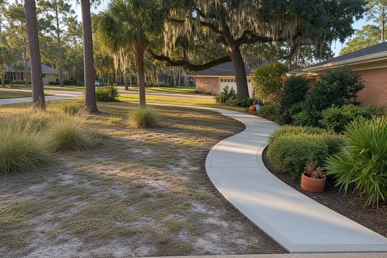
Either way, living on a lake changes where your runoff goes. We can set the fall of a patio so water soaks into lawn before it reaches the shore. Our pages on Lake Hollingsworth and Lake Bonny cover those shorelines in more detail.
How Your Job Goes
Site visit
We measure, look at the old slab and can check the soil where the new one will sit.
Written quote within 48 hours
Size, thickness, finish, tear-out and base work, each on its own line.
Flood map and permit check
We confirm your flood zone, then the City permit or written exemption request and the right-of-way permit for the apron.
Pour, cure and clean up
Compacted base, curing started right after finishing, no cars for at least 7 days, and a clean site when we leave.
Mockingbird Lane to Bartow Road: who controls the curb
Every named street inside Lake Horney is City-owned, about 6.7 km in all, from Mockingbird Lane and Clearview Avenue to Euclid Avenue, Huntington Street, Avon Avenue and Skinner Street. On those streets the City's Building Inspection Division processes a residential driveway, Public Works Engineering inspects it, and the apron in the right-of-way needs a Right-of-Way Use Permit, and the City wants 48 hours' notice before work begins.
City code Sec. 4.11.4.6 sets the size outside historic districts: a standard driveway 10 to 24 ft wide and at least 20 ft onto the lot; a ribbon driveway 7 to 10 ft across with tracks at least 2 ft wide; a circular driveway 10 to 14 ft wide on a lot with 75 ft of frontage, exempt from the one-curb-cut rule. Every other lot gets one curb cut unless it has an improved alley.
US 98, Bartow Road, runs about 3.6 km along the edge and is coded as a State road, so the state may be involved in any connection there. One edge touches the Biltmore-Cumberland historic district without overlapping it. If your lot sits on that line, check the City map; district paving is reviewed first, as in Historic Lake Morton and South Lake Morton.
Common Questions
Is Lake Horney a protected lakeshore under Lakeland's code?
Why check the soil before pouring on a lot near Lake Horney?
Which Lake Horney lots are in a flood zone?
My house faces Bartow Road. Who handles the driveway connection?
Is any part of Lake Horney in a historic district?
What does replacing a 1950s driveway near Lake Horney cost?
Sources
- Neighborhoods_25 (FeatureServer) (City of Lakeland GIS)
- Map_Property_Appraiser: Recorded Subdivisions (Polk County Property Appraiser GIS)
- TAVARES Series (USDA NRCS Official Soil Series Descriptions)
- SAMSULA Series (USDA NRCS Official Soil Series Descriptions)
- National Flood Hazard Layer: Flood Hazard Zones (FEMA)
- Land Development Code (Sec. 4.11.4.6 driveways; Sec. 6.4 protected lakeshores) (City of Lakeland (Municode))
- Engineering Permit Inspection Information (City of Lakeland Public Works Engineering)
- iMS Centerlines (FeatureServer) (City of Lakeland GIS)