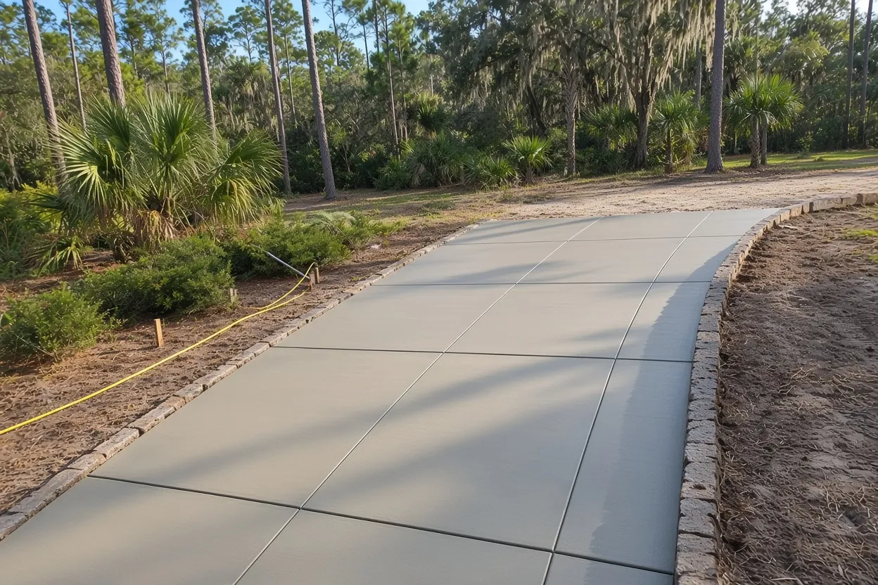
The Woods at a glance
A City of Lakeland neighborhood of about 276 acres crossed by Cleveland Heights Boulevard (CR 37A), bounded in part by Hallam Drive and the Polk Parkway, with eight plats recorded from 1970 (Stonegate) to 2005 (Beerman Oaks) and 453 single-family homes, most built in the 1970s on lots near 15,700 sq ft.
A mix of fast-draining Candler, Tavares and Neilhurst sands and somewhat poorly drained Sparr soils, so drainage changes lot to lot. Tree canopy averages about 28.5%. About 7.8% of the area is FEMA Zone AE or A around two small interior lakes and ponds; neither lake is a protected lakeshore.
Permit office: City of Lakeland Building Inspection Division · official page Driveway permits go through Building Inspection; aprons on City streets need a Right-of-Way Use Permit from Public Works Engineering. Three lanes are coded private. No historic district review applies in The Woods.
Stonegate, Sugartree and Kellsmont: eight plats between Hallam Drive and the Polk Parkway
The Woods is a City of Lakeland neighborhood of about 276 acres, all of it inside city limits. Cleveland Heights Boulevard (CR 37A) runs through it for more than a kilometer. Hallam Drive, Rolling Woods Lane and Highland Drive East form parts of its edge, and the Polk Parkway runs along about 1.4 km of the boundary. Peterson Park and Carlton Palmore Elementary sit just outside the line.
County plat records list eight subdivisions: Stonegate (1970), Brookwood (1973), Hallamwood (1976), Sugartree (1977), Rolling Woods (1982), Canyon Lake Villas (1983), Kellsmont (1983) and Beerman Oaks (2005). The neighborhood holds 453 single-family homes and no townhomes. Property records date 243 of them to the 1970s, with a median year of 1978. So a driveway or back patio original to a house in The Woods is likely close to fifty years old. Our service area page shows the neighborhoods around it.
A third of an acre: long and circular driveways on RA-1 lots
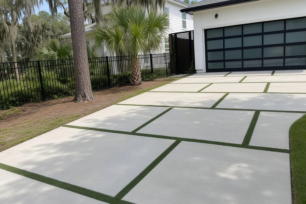
The median single-family lot in The Woods is about 15,700 sq ft, and a quarter of them top 20,000 sq ft. About 87% of the land is zoned RA-1. On a lot that size, a new driveway can run well past the standard two-car slab.
Lakeland's Land Development Code, Sec. 4.11.4.6, covers the shape. Outside the historic districts (The Woods is outside all of them), a residential driveway may be 10 to 24 feet wide. Ribbon tracks work if each strip is at least 2 feet wide. Each lot gets one curb cut unless it has an improved alley. The exception that matters on big lots: a circular driveway 10 to 14 feet wide, on a lot with at least 75 feet of street frontage, is exempt from the one-cut rule.
Length is what moves the price. A 12 by 60 foot run is 720 sq ft, which comes to about $5,760 to $10,080 at our $8 to $14 per sq ft driveway rate, before tear-out at $2 to $4 per sq ft. Park a boat or camper at the house? A 5-inch slab costs roughly 20% more in concrete than 4 inches and carries nearly 50% more load, according to Concrete Network. Our driveway cost guide has more on what changes the total.
What It Costs
Below are our typical ranges for jobs in The Woods. On these lots, the total climbs mostly with driveway length, tearing out a 1970s slab and the paperwork on a flood-zone lot.
| Job | Per sq ft | Typical project | What moves the price |
|---|---|---|---|
| Concrete driveway | $8 to $14 | $5,000 to $10,000 | Typical two-car, about 500 to 700 sq ft at 4 to 5 in.; longer setback runs cost more, and tear-out adds $2 to $4 per sq ft |
| Concrete patio | $8 to $14 | $2,500 to $6,500 | About 250 to 450 sq ft, plain or broom; big lots invite bigger slabs |
| Sidewalk or walkway | $8 to $14 | $1,500 to $4,500 | 4 in., 3 to 5 ft wide; a short run hits the job minimum |
| Stamped or decorative | $14 to $24 | $5,000 to $16,000 | Pattern, integral or release color, and sealer |
| Slab or foundation | $7 to $12 | $2,000 to $7,500 | 4 in. reinforced; thicker or monolithic slabs run higher |
Ranges, not quotes. A 20 by 20 foot patio is 400 sq ft, about $3,200 to $5,600 at our patio rate. You get a firm figure in a free written estimate after we see the site.
Sparr pockets beside mine-spoil sand: why two neighbors' slabs drain differently
The ground under The Woods is a patchwork. Soil survey polygons show Candler sand on about 23% of it, Tavares fine sand on about 22%, Neilhurst sand on 16%, and Sparr soils (alone or mixed with urban land) on about 18%, with smaller strips of Kendrick and Fort Meade. Candler and Neilhurst are excessively drained, and Neilhurst formed in spoil left by mining. Sparr is the odd one out. Its official series description calls it somewhat poorly drained and moderately slowly to slowly permeable.
Here's what that means for your slab. One lot can drain a summer downpour fast while the lot behind it holds water after a storm. On a fast-draining sand lot, the risk is loose fill, so the base can be compacted in thin, damp lifts. On a Sparr lot, the risk is water sitting under or against the slab, so the pitch and where the runoff goes matter more. A good benchmark is the standard Florida Building Code R506.2.1 sets for house slab floors: no roots or debris in the fill, compacted for even support, and clean sand fill no deeper than 24 inches unless approved.
These maps come from an older county copy of the USDA survey. They describe the neighborhood, not your yard, so we read the ground at the site visit.
Sixty pond-front parcels and the flood-zone line
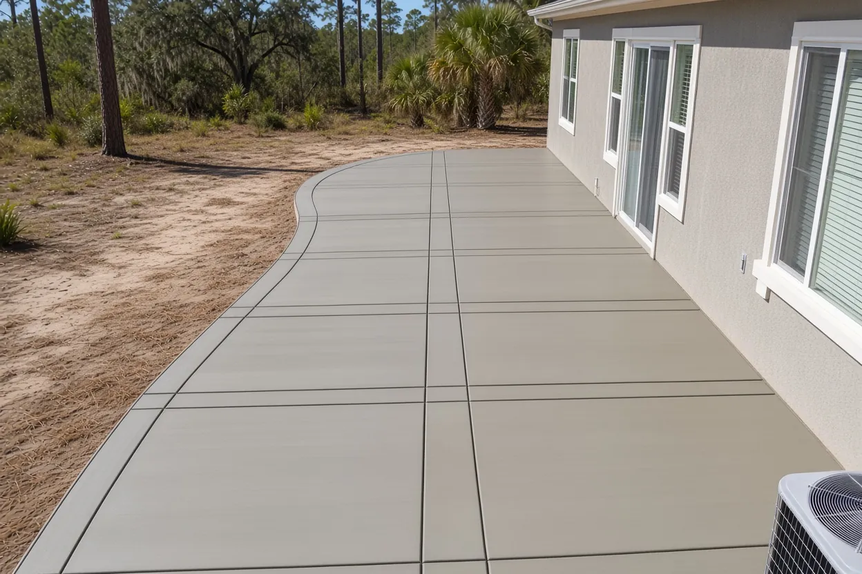
The Property Appraiser codes 60 single-family parcels in The Woods as "Res. Lakefront". The neighborhood holds two small unnamed lakes of about 10 and 2 acres, and the national wetlands map shows ponds over about 6.6% of the area. Neither lake is on the list of 11 protected lakeshores in Sec. 6.4 of the Land Development Code, so the 50-foot protected-shoreline setback in that section doesn't apply to them. Lake John, about 720 meters away, isn't on the list either. Other setbacks still might, so ask the City about yours before you draw a slab near the bank.
The flood map matters more. FEMA maps about 4.8% of The Woods as Zone AE, with a base flood elevation of 112.4 feet on panel 12105C0480G, and another 2.9% as Zone A. Fifty single-family parcels touch one of those zones. Check your address on the FEMA Flood Map Service Center.
Here's why it matters. Florida's HB 803 lets single-family owners ask for a permit exemption on qualifying work under $7,500, but it excludes properties in a flood hazard area. So a small stamped patio on one of those 50 lots can't lean on that exemption, and whatever permit the City requires still applies. And once a direct contract for an improvement goes over $2,500, Florida Statutes 713.13 and 713.02(5) call for a Notice of Commencement recorded with the County Clerk before work starts.
How Your Job Goes
Measure and read the ground
We measure the run, look at how the old slab drained and cracked, and note the flood zone, street type and nearby oaks.
Written quote
Length, thickness, mesh, joints, tear-out and permits are in a written quote within 48 hours.
Permits first
The City permits that apply to your lot and street get lined up before the forms go in.
Pour, cure, clean
The base is compacted, the slab placed and finished, curing started right away, and the jobsite left clean.
Oak roots, private lanes and the Parkway edge
Tree cover in The Woods averages about 28.5% in national land cover data, and 8% of mapped cells are half shaded or more. Shade slows the drying of a fresh slab. Roots are the trade-off. UF/IFAS warns that live oaks planted close to driveways or sidewalks can grow roots big enough to lift and crack them. If an oak has to come out for a new walkway or driveway, Lakeland requires a Tree Removal Permit Application, with standards in Article 4.5 of the code.
Who owns your street decides who you call about the apron. Most streets here, among them Rolling Woods Lane, Cheverly Drive, Hallamview Lane, Brookwood Drive and Sugartree Lane North, are coded City-owned on the City's street centerline map. On those, the apron needs a Right-of-Way Use Permit from Public Works Engineering on top of the driveway permit Building Inspection processes, plus a 48-hour pre-construction notice. Fairlington Drive, Wedgewood Lane and Rugby Lane are coded private, not City-owned, so ask the City who signs off before forms go in.
Along its stretch of the boundary, the Polk Parkway is State Road 570, coded as a State road. Planning a shed pad or other concrete slab near that line? The state may be involved, so raise it with the City early.
What to gather before we measure your lot in The Woods
- Your plat name if you know it: Stonegate, Brookwood, Hallamwood, Sugartree, Rolling Woods, Canyon Lake Villas, Kellsmont or Beerman Oaks.
- Your street frontage in feet if you want a circular driveway (75 feet is the line).
- A FEMA flood zone printout if your yard reaches a pond or one of the two lakes.
- Whether you live on Fairlington Drive, Wedgewood Lane or Rugby Lane, and any answer from the City on the apron.
- Photos of standing water after a storm and of any oak roots lifting the old slab.
- Pool deck plans, if any, so they can be priced with the rest.
The Lakeland concrete permit guide covers the order of approvals. We also pour nearby in Hallam, Highland View, Lake Miriam, Cleveland Heights and Lake Somerset. When you're ready, ask for a free estimate or call (863) 400-2934.
Common Questions
Can I add a circular driveway on my lot in The Woods?
Who signs off on an apron on Fairlington Drive, Wedgewood Lane or Rugby Lane?
Does a lot on one of the small lakes in The Woods carry the 50-foot lakeshore setback?
Why does my back patio in The Woods hold water when my neighbor's doesn't?
Can I skip the permit for a small patio in The Woods under the $7,500 exemption?
What does a long driveway cost in The Woods?
Sources
- Land Development Code, Sec. 4.11.4.6 Vehicle Use Area Standards and Sec. 6.4 Lake and Natural Habitat Protection (City of Lakeland (Municode))
- Official Series Description: SPARR (USDA-NRCS (NCSS OSD Registry))
- Flood Hazard Zones (National Flood Hazard Layer) (FEMA)
- FEMA Flood Map Service Center (FEMA)
- iMS Centerlines (FULLSTREETNAME, OWNERSHIP) (City of Lakeland GIS)
- Concrete Driveway Installation: 8 Essentials (Concrete Network)
- Live Oaks (UF/IFAS Gardening Solutions)
- Lakeland's Urban Forest (City of Lakeland Parks & Recreation)