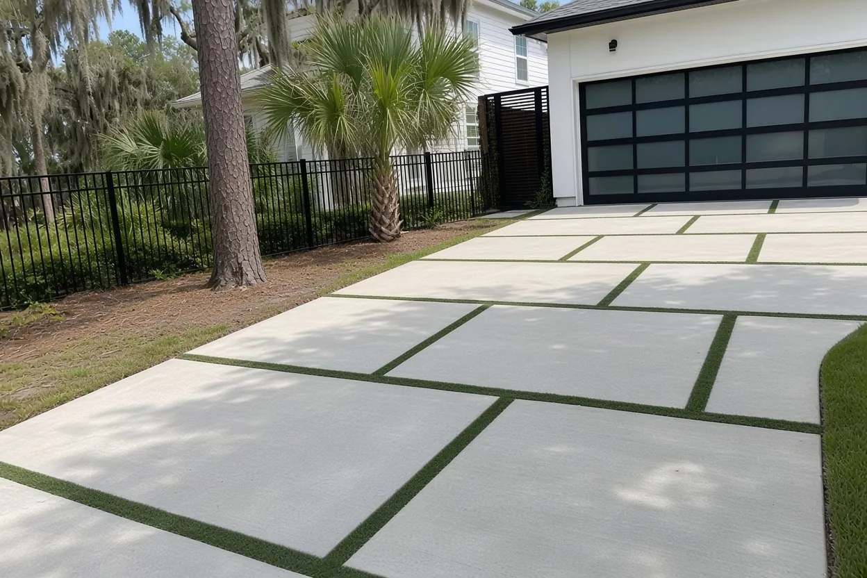
Paul A Diggs at a glance
Paul A Diggs is a City of Lakeland neighborhood north of Memorial Boulevard. It's named for Paul A. Diggs (1890 to 1963), one of the area's first Black social workers. Washington Park High School opened here in 1928 as the sixth Black high school in Florida and was later renamed for principal William A. Rochelle. Rochelle School of the Arts, Washington Park, the Coleman-Bush Building and Lincoln Avenue Academy all sit in or beside the neighborhood. The City also notes a home here that was featured in the Green Book.
Soils change block to block. You'll find Sparr (somewhat poorly drained, slow to drain), Tavares (moderately well drained), Myakka and Immokalee flatwoods sands (poorly drained) and Hontoon muck in low depressions (very poorly drained, organic). Most of the area is FEMA Zone X, with a small Zone AE strip. Tree cover is moderate, but old shade trees near walks can still lift concrete.
Permit office: City of Lakeland Building Inspection Division, with Public Works Engineering for right-of-way · official page Driveways go through Building Inspection. Interior streets are City-owned, so aprons and public sidewalks on them need a Right-of-Way Use Permit. Memorial Boulevard and N. Florida Avenue are State roads. No local historic district applies.
From Memorial Boulevard to Tucker Street along the MLK spine
The City of Lakeland describes Paul A Diggs as a long rectangle. Memorial Boulevard bounds it on the south, N. Florida Avenue on the east, Lincoln Avenue on the west and Tucker Street on the north. Martin Luther King Jr. Avenue, once North Dakota Avenue, runs through the middle like a spine. South of 10th Street is the old Teaspoon Hill area, and north of it is Black Bottom.
The City calls it one of Lakeland's largest neighborhoods, and it holds 587 single-family homes. That adds up to a lot of driveways, front walks and back slabs that have been down for decades. As a concrete contractor working all over Lakeland, we treat this part of town as its own kind of job: old lots, City streets and mixed ground. Our concrete driveways page covers the slab itself, and the Lakeland service area page lists the other neighborhoods we pour in.
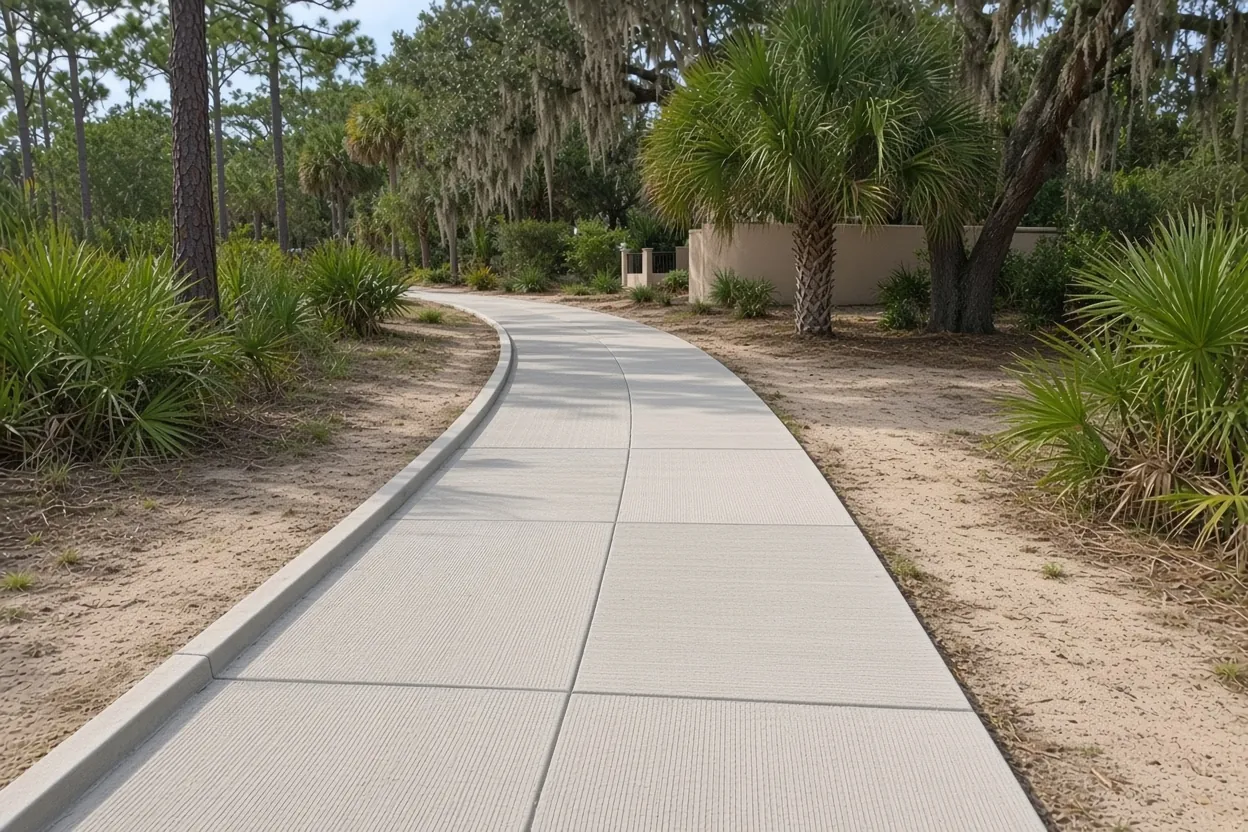
Every street here belongs to the City: aprons, walks and two permits
Inside the Paul A Diggs boundary, the City's map codes every interior street as City-owned, from W 1st through W 14th Streets out to Tucker Street. The edge roads are different: Memorial Boulevard and N. Florida Avenue are coded as State roads, so a lot that fronts one of them is a separate permit question we sort out before quoting. That makes the strip of driveway between your property line and the pavement City right-of-way, along with any public sidewalk it crosses. Lakeland requires a Right-of-Way Use Permit from Public Works Engineering for any work there, and the apron has to follow the City's Engineering Standards Manual.
The driveway on your lot runs on a separate track. The Building Inspection Division processes residential driveways and Public Works Engineering inspects them, with a pre-construction notice at least 48 hours before work starts. Here's the good news. The neighborhood doesn't touch any local historic district, so paving doesn't need a Certificate of Review.
Take a look at the street itself, too. The City's public works list shows Missouri Avenue North (Memorial Boulevard to Pear Street) resurfaced by February 2026, and a June 2026 milling and paving notice named Martin L. King Jr Avenue and Tucker Street. If your block was just repaved, we match the apron to the new edge, not the old one. The Lakeland concrete permit guide walks through each City step in order.
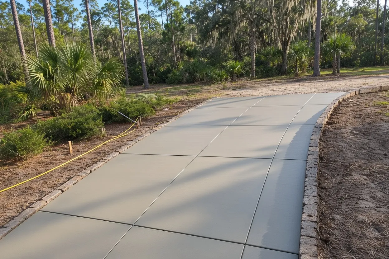
What It Costs
Our typical ranges for Paul A Diggs jobs. On these older lots, tear-out and the City apron move the total the most.
| Job | Per sq ft | Typical project | What moves the price |
|---|---|---|---|
| Concrete driveway | $8 to $14 | $5,000 to $10,000 | 4 to 5 in. broom finish, about 500 to 700 sq ft; tear-out adds $2 to $4 per sq ft; apron to City standard |
| Concrete patio | $8 to $14 | $2,500 to $6,500 | About 250 to 450 sq ft; old slab removal; stamped priced separately |
| Sidewalk or walkway | $8 to $14 | $1,500 to $4,500 | 4 in., 3 to 5 ft wide; curves around roots; short runs hit a job minimum |
| Stamped and decorative | $14 to $24 | $5,000 to $16,000 | Pattern, integral or release color, sealer |
| Slab or foundation | $7 to $12 | $2,000 to $7,500 | 4 in. reinforced; thicker or monolithic costs more |
These are ranges, not quotes. You'll get an exact price in a free written estimate once we've seen the site. City permit fees are separate.
Plats from 1903, houses from the 1950s: what an old driveway tells us
By Lakeland standards, this is old ground. The recorded plats start with McRae and Bryants Second Addition in 1903 and North Lakeland in 1905. Lincoln Park and Adairs Addition followed in 1913, Washington Park in 1918 and Palma Ceia Court in 1925, which alone holds 122 single-family homes. Property records put the median build year around 1953. The 1950s were the busiest decade, and a real share of the homes are older than 1950.
Newer pockets sit in the mix as well. Lake Ridge and Washington Park Renaissance were platted in 2003. Lincoln Square added 21 affordable single-family homes, built by the Lakeland CRA where a run-down apartment complex once stood.
On an older lot, the first question is whether to patch, widen or replace. A slab with a few hairline cracks and no sinking may be fine to keep. A slab that dropped at the joints, tilted toward the house or broke into loose pieces points to a base problem, and that is when we price a tear-out. Tear-out adds $2 to $4 per sq ft to our $8 to $14 driveway range. A typical two-car driveway of about 500 to 700 sq ft lands in our $5,000 to $10,000 project range before tear-out. The driveway cost guide shows how size and finish move that number.
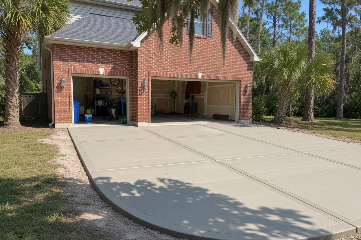
Sparr, Tavares and the low muck pockets under the neighborhood
The soil map for Paul A Diggs is a patchwork, so we look at each lot instead of assuming. The most common unit is a Sparr and urban land complex. USDA describes Sparr as somewhat poorly drained and moderately slowly to slowly permeable, which means water hangs around after a storm. Tavares sand, mapped in other parts, is moderately well drained. Myakka and Immokalee flatwoods sands are poorly drained. Hontoon muck fills some low depressions as very poorly drained organic soil, and wetland mapping covers some of those low spots too.
Here's what that means for a slab. Soft or organic material under a driveway has to come out, and the base gets compacted in lifts before the forms go in. On slow-draining sand, we pitch the surface so rain runs off the slab and away from the house instead of sitting at the edge. We pour driveways 4 to 5 inches thick, and a slab that will carry a pickup or trailer gets the thicker end.
Flood maps matter for the paperwork. Most of the neighborhood is Zone X, but a small strip is Zone AE. Florida's new under-$7,500 permit exemption doesn't apply to property in a flood hazard area, so check your lot on the FEMA Flood Map Service Center before you plan around it.
How Your Job Goes
Walk the lot
We measure, check the old slab for sinking or breakup, and find where your lot meets City right-of-way.
Written quote in 48 hours
You get a written quote within 48 hours, with tear-out and the apron each on its own line.
Permits and locates
Driveway and right-of-way permits go in, Public Works Engineering gets its 48-hour notice, and buried lines get marked.
Pour, cure, clean up
We dig out soft spots, compact the base, pour and finish. Then we keep traffic off while it cures and leave the site clean.
Back-yard patios, side walks and shed slabs near Washington Park
Behind the house, three jobs come up on these lots. One is a concrete patio off the back door. Another is a walkway down the side yard to the gate or trash cans. The third is a slab for a shed or small workshop. A patio or walk that stays on your lot doesn't need the right-of-way permit. For a shed slab, the building on top decides what the City wants to see. Stamped concrete suits a front entry or patio, and we can quote a pool deck along with a patio.
Tree cover here is moderate, not heavy, but an old shade tree near a walk can still cause trouble. UF/IFAS notes that a live oak planted close to a sidewalk or driveway can grow roots big enough to lift and crack it. We can curve a walk or move a joint. Taking a tree out needs a City Tree Removal Permit Application.
Looking at a neighbor's project too? Lakeshore sits along Lake Parker, and Lake Bonnet borders Bonnet Springs Park, a short walk from here. Webster Park North, Robson Street and Shore Acres each have their own pages. Here, with plats going back to 1903 and City streets on every interior block, the apron question comes up on nearly every driveway.
Common Questions
Is Paul A Diggs inside a Lakeland historic district?
Who owns the street in front of my house off MLK Avenue?
My street was just repaved. Does that change my driveway job?
Can a 1950s driveway in Paul A Diggs be patched instead of replaced?
Does the small Zone AE strip in Paul A Diggs affect my permit?
Where does the Paul A Diggs Neighborhood Association meet?
Sources
- Find Your Neighborhood: Paul A. Diggs (City of Lakeland (Internet Archive copy))
- Black History Discovery Trail (City of Lakeland)
- Coleman-Bush Building (City of Lakeland Parks, Recreation and Cultural Arts)
- Public Works Projects (City of Lakeland Public Works)
- Engineering Permit Inspection Information (City of Lakeland Public Works Engineering)
- Engineering Standards (City of Lakeland Public Works Engineering)
- Official Series Description: SPARR (USDA-NRCS (NCSS OSD Registry))
- FEMA Flood Map Service Center (Federal Emergency Management Agency)
- Live Oaks (UF/IFAS Gardening Solutions)