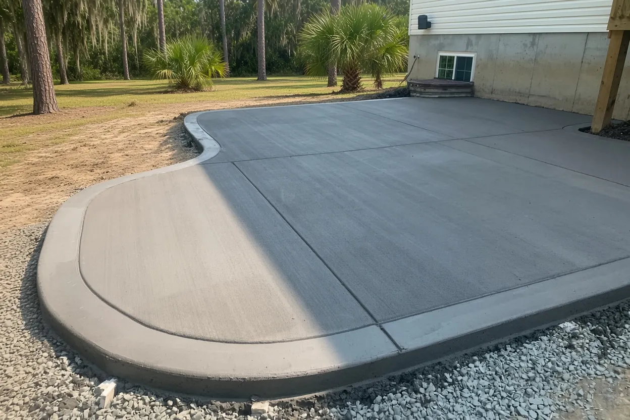
Hawthorne Ranch at a glance
Lakeland's newest plats, recorded as "Hawthorne" from 2023 to 2026, in far southwest Lakeland off West Pipkin Road and west of Riverstone, with 247 single-family homes, 14 townhomes and hundreds of lots still to build.
Mostly Pomona fine sand with pockets of Basinger and Floridana muck, all poorly or very poorly drained. About 23% of the plat area is FEMA flood zone, but it sits in ponds and common tracts, not on the house lots.
Permit office: City of Lakeland Building Inspection Division · official page No historic district. Confirm who owns the curb strip on interior streets before apron work; home lots are clear of the flood zone for HB 803 purposes.
A neighborhood still filling in: Hawthorne plats from 2023 to 2026
Hawthorne Ranch is in far southwest Lakeland, west of Riverstone and near the Hillsborough County line, all of it inside city limits. West Pipkin Road runs along about 1.4 km of its edge and a short stretch of Medulla Road runs inside. The plats are recorded under the name "Hawthorne": Phase 1 in September 2023, Phases 2 and 3 in 2024, Phase 4 in March 2026 and the Peachleaf/Medulla Extension in August 2026, per the county's recorded subdivision layer.
The tax roll shows 247 single-family homes and 14 townhomes so far, with 525 vacant residential lots and 41 vacant waterfront lots still to build. The whole community is one planned unit development, PUD 5755. With houses this new, a Hawthorne Ranch job means adding to the builder's concrete: a back patio, a walk to the side gate, or a wider driveway. Our full Lakeland service area is listed separately.
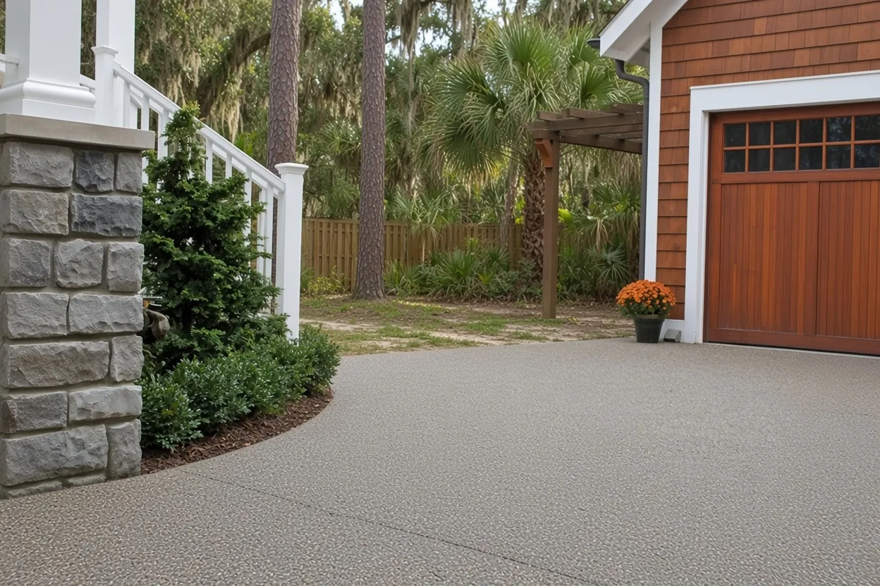
Lots near 6,000 sq ft: fitting a patio and a wider driveway
The median single-family lot in Hawthorne Ranch is about 6,040 sq ft, with the smaller quarter under about 4,950 and the bigger quarter over about 7,100. Every square foot of concrete you add comes out of lawn and drainage.
Run the numbers before you fall for a big outline. A 10 by 20 ft patio is 200 sq ft, which works out to about $1,600 to $2,800 at our $8 to $14 per sq ft range. A 12 by 24 ft slab is 288 sq ft, or about $2,304 to $4,032. On the driveway side, Sec. 4.11.4.6 of Lakeland's Land Development Code allows 10 to 24 ft of width outside historic districts and one curb cut per lot unless there's an improved alley. A circular driveway is exempt from the one-cut rule, but it has to be 10 to 14 ft wide on a lot with 75 ft of frontage, so measure your frontage before you picture one. Ribbon tracks, if you like that look, must be at least 2 ft wide.
On a narrow side yard, a 3 to 4 ft walkway to the gate or a small pad for trash cans or a generator can do more for you than a wider patio.
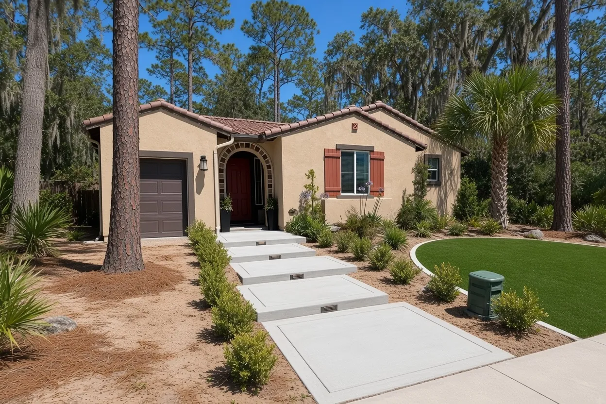
What It Costs
Our typical ranges for Hawthorne Ranch add-ons. On these small, new lots, the size you can fit and how it ties into the builder's concrete move the price most.
| Job | Per sq ft | Typical project | What changes it in Hawthorne Ranch |
|---|---|---|---|
| Concrete driveways | $8 to $14 | $5,000 to $10,000 | Widening width, curb-strip permit; tear-out adds $2 to $4 per sq ft |
| Concrete patios | $8 to $14 | $2,500 to $6,500 | Fitting a small yard, keeping the builder's drainage, future screen room |
| Concrete sidewalks and walkways | $8 to $14 | $1,500 to $4,500 | Narrow side-yard runs; short runs hit a job minimum |
| Stamped and decorative concrete | $14 to $24 | $5,000 to $16,000 | Pattern, color and sealer; borders cost less than a full stamp |
| Concrete slabs and foundations | $7 to $12 | $2,000 to $7,500 | Generator, trash or shed pads; thicker or monolithic slabs cost more |
Ranges, not a quote: you get a free written estimate after we see the site and the written quote within 48 hours. City permit fees are extra.
Flood zones in the ponds and common tracts, not on the house lots
FEMA's flood hazard layer maps about 23% of the Hawthorne Ranch plat area as Special Flood Hazard Area. Most of that is Zone AE, split into 18 separate pieces with base flood elevations from 111.6 ft to 125.5 ft, plus a smaller share of Zone A. The rest, about 77%, is Zone X. When you lay the parcel map over it, though, none of the single-family home lots touch the flood zone. It sits in the ponds and common tracts.
That matters for small jobs. Florida's HB 803 lets an owner request a permit exemption for qualifying non-structural work under $7,500 on a single-family home, and it's off the table if any part of the property is in a flood hazard area. With the home lots clear of the zone, that carve-out doesn't block you here, but it still isn't automatic. You apply in writing, wait for approval, can't split a job to slip under the cap, and the building official decides whether concrete qualifies. Check your own lot on the FEMA Flood Map Service Center first. Over $2,500, Florida law also wants a Notice of Commencement recorded before work starts. Our permit guide covers both.
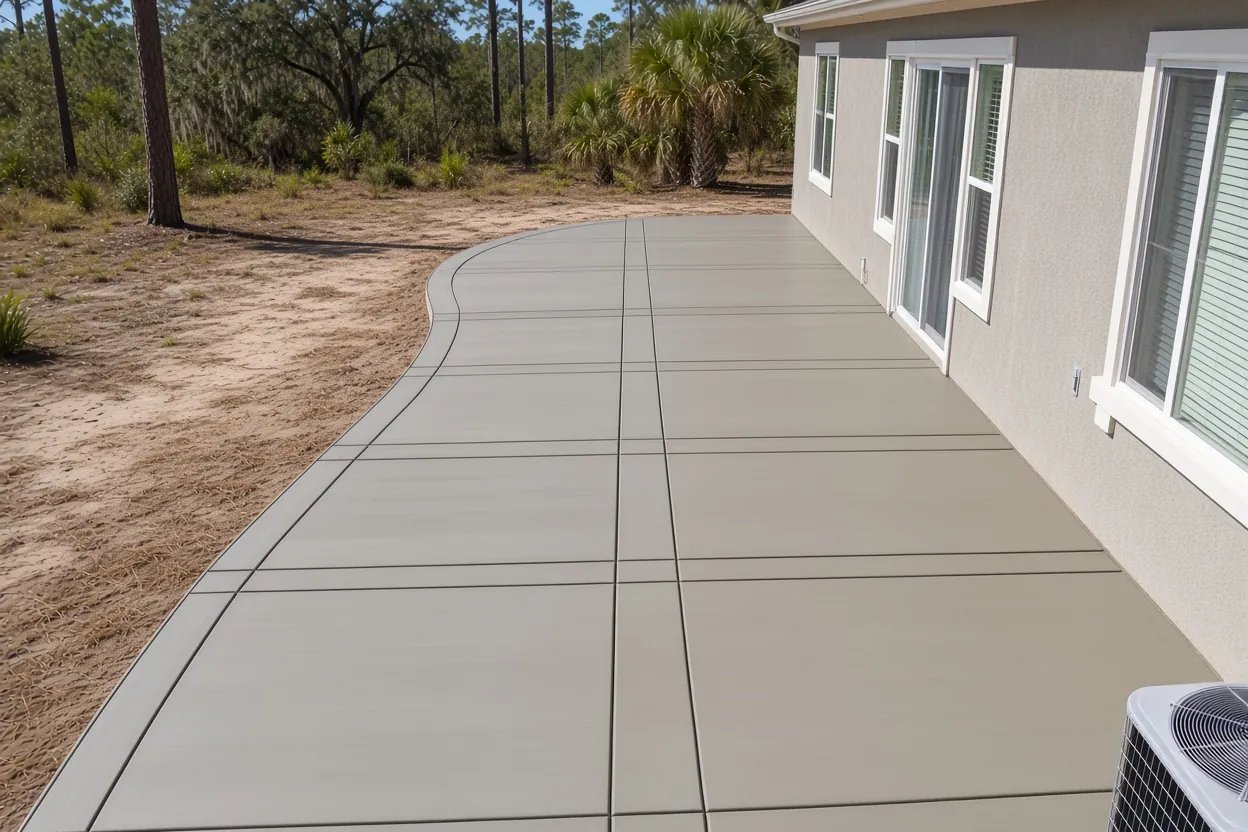
From Pomona sand to Floridana muck: what Hawthorne Ranch slabs sit on
About 80% of Hawthorne Ranch is mapped as Pomona fine sand. Smyrna and Myakka fine sands cover about 8%, depressional Basinger mucky fine sand about 5%, depressional Floridana mucky fine sand about 4%, and Wauchula fine sand about 2%. Every one of those series is poorly or very poorly drained. The Basinger description calls it very poorly drained, and the Floridana description says the same. English Creek and Morgan Creek run just outside the plats.
Here's how that shapes the work. We can pull the sod and any dark, organic topsoil, then compact clean sand in lifts, holding that base to the same standard the Florida Building Code sets for fill under a house slab: free of vegetation and compacted for uniform support. On a brand-new lot the yard grade was set by the builder, so a patio or widening has to keep that drainage pattern and keep water moving away from your foundation and the neighbor's. Pours in the National Weather Service rainy season, May 25 to October 10, can start early, with a look at the base for standing water on pour morning. The soil map is a general survey, so our visit confirms what's under your lot.
How Your Job Goes
Gather the closing papers
Your survey and plat page show the lot lines and frontage we'll design around.
Site visit
We measure the yard, mark the outline and look at how the builder graded it.
Written quote in 48 hours
Size, thickness, finish, joints and price on paper.
Permit, pour and cleanup
City permit and any right-of-way permit, an early pour, and a clean jobsite when we're done.
Peachleaf Street and Cloudberry Avenue: confirm who owns the curb strip
Hawthorne Ranch streets are named for plants and berries: Peachleaf Street, Cloudberry Avenue, Cranberry Way, Yaupon Holly Way, Foxglove Circle, Barberry Avenue. The City's street map already lists Medulla Road as a City street, but the newer interior streets aren't on it yet. So before a driveway widening reaches the curb, check the plat dedication or ask Lakeland Public Works who owns the strip in front of your house.
If it's City right-of-way, the Public Works Engineering permit page says any work there needs a Right-of-Way Use Permit before it starts. Driveways go through the Building Inspection Division, Public Works inspects them, and you give 48 hours' notice before work begins. If your home has an HOA, ask whether it wants to see the plan before you file with the City.
We can match the builder's broom finish and set an isolation joint where new concrete meets old, and a stamped border or a simple pool deck can come later. Widening math is in the driveway cost guide. Nearby pages: Riverstone, Towne Park, Carillon Lakes, Lakeside Preserve and the Lakes at Laurel Highlands.
Common Questions
Which office permits concrete work in Hawthorne Ranch, the City or Polk County?
Are any Hawthorne Ranch house lots in a flood zone?
Can I get a permit exemption for a small patio in Hawthorne Ranch?
How big a patio fits on a Hawthorne Ranch lot?
Do Hawthorne Ranch lots have room for a circular driveway?
Should I wait until my Hawthorne Ranch house is a year old before adding concrete?
Sources
- Map_Property_Appraiser MapServer: Recorded Subdivisions (Polk County Property Appraiser GIS)
- Map_Property_Appraiser MapServer: Parcels (Polk County Property Appraiser GIS)
- NFHL MapServer: Flood Hazard Zones (FEMA)
- Official Series Description: BASINGER (USDA-NRCS (NCSS OSD Registry))
- Land Development Code, Sec. 4.11.4.6 (City of Lakeland (Municode))
- Engineering Permit Inspection Information (City of Lakeland Public Works Engineering)
- Florida Statutes 713.13, Notice of commencement (The Florida Senate)
- Work Exempt from Permits (Hillsborough County Development Services)